> For the complete documentation index, see [llms.txt](https://hacking-notes.jord4n.pro/llms.txt). Markdown versions of documentation pages are available by appending `.md` to page URLs; this page is available as [Markdown](https://hacking-notes.jord4n.pro/es/hacking-tools/osint/maps-and-geospatial-intelligence.md).

# Mapas e inteligencia geoespacial

Recursos de mapas e inteligencia geoespacial para imágenes satelitales, alertas de incendios, mapeo de infraestructura, sombras, imágenes a nivel de calle, bosques, terreno y estimación de tamaño de multitudes.

Utilice estos recursos para inspeccionar el terreno, los entornos construidos, las imágenes satelitales, la infraestructura, el cambio ambiental, la actividad de incendios y el contexto físico alrededor de una ubicación.

## Herramientas

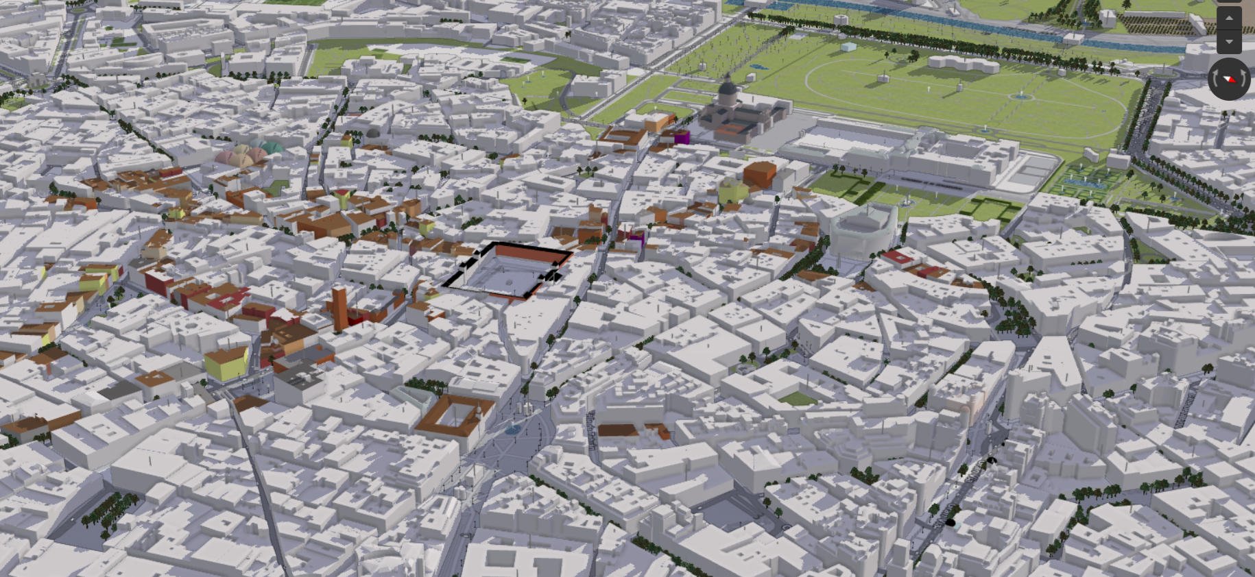
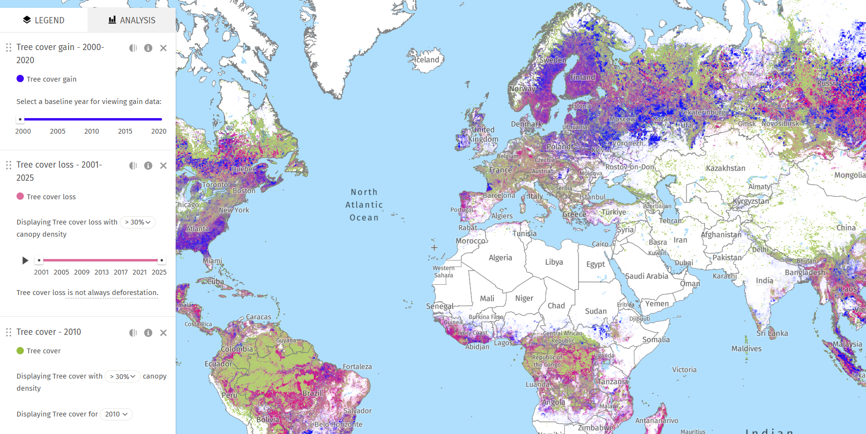
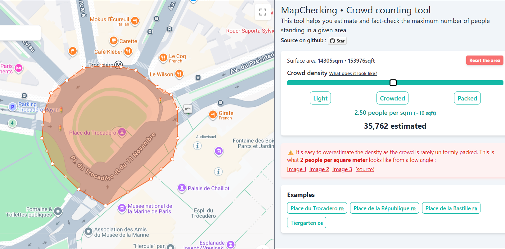
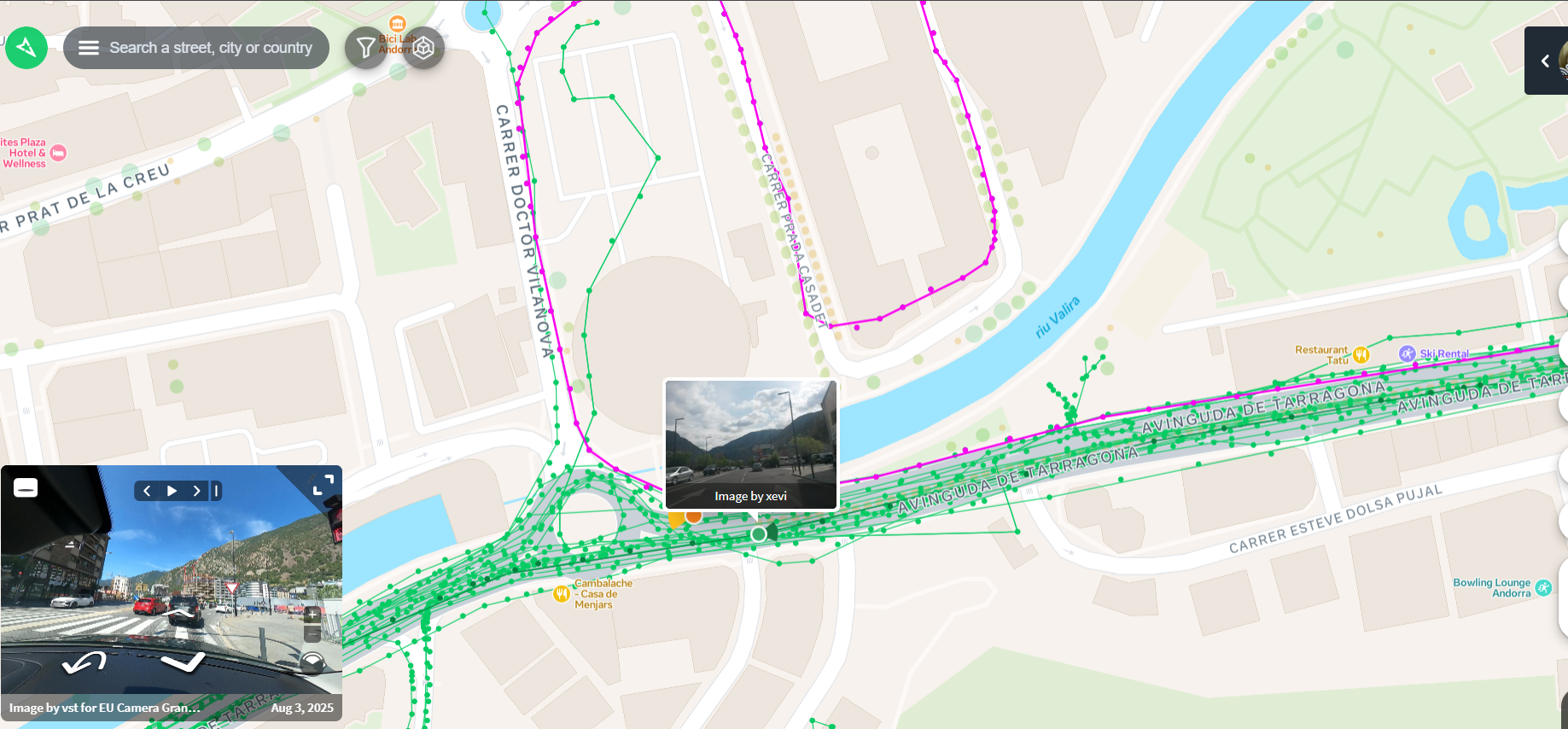
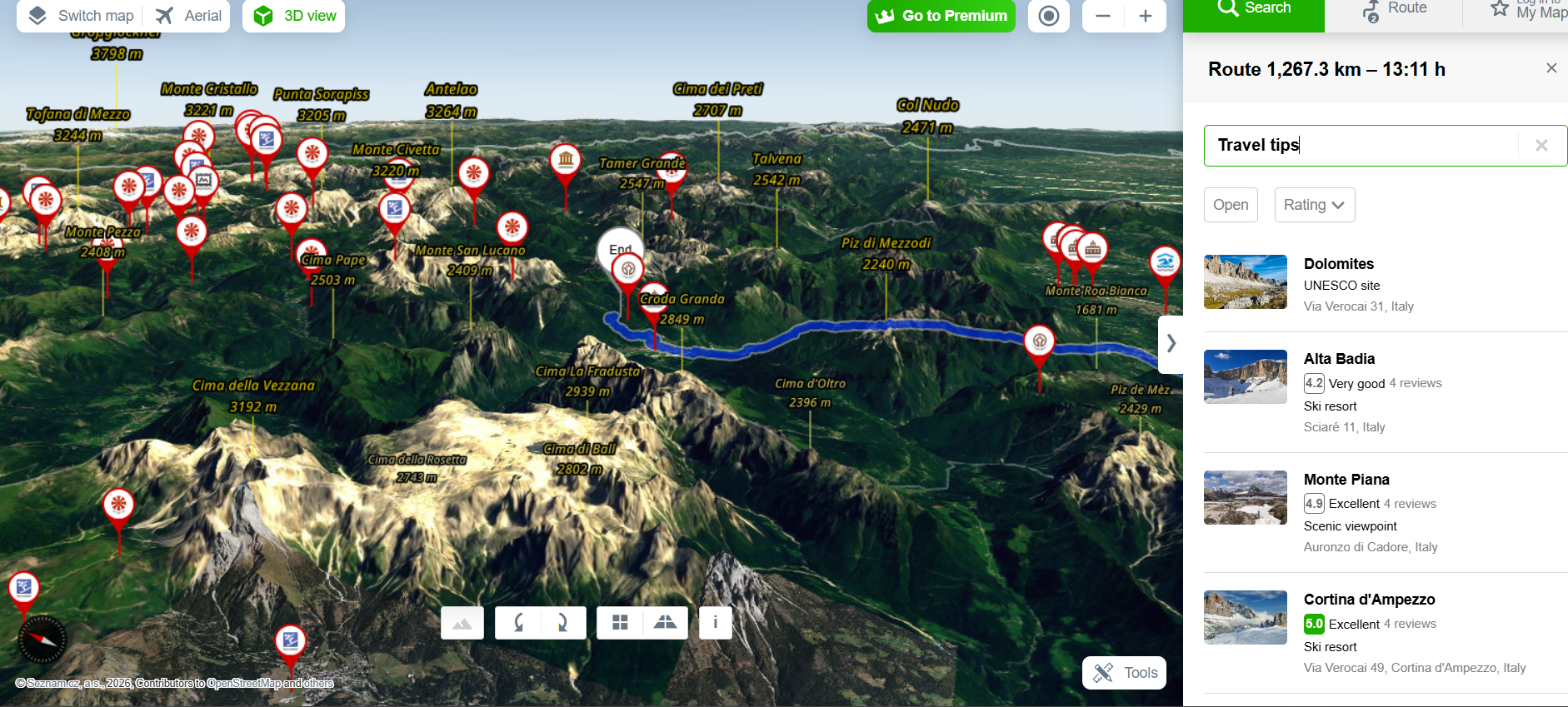
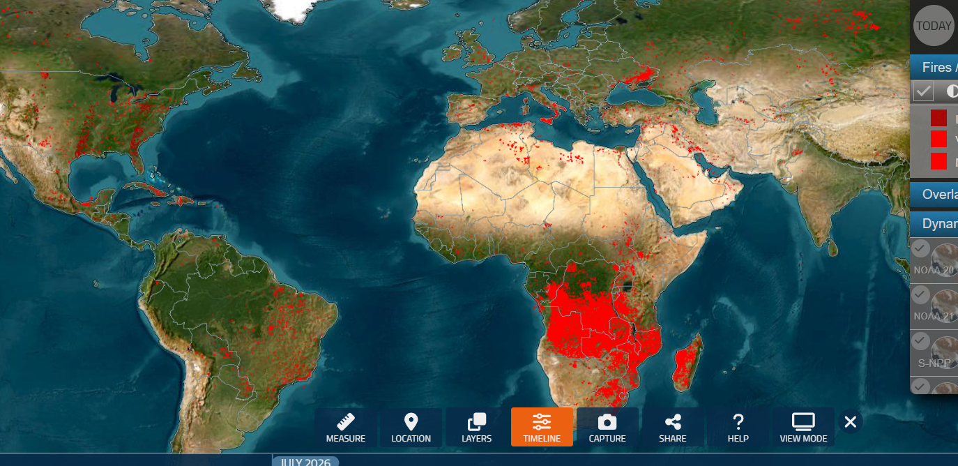
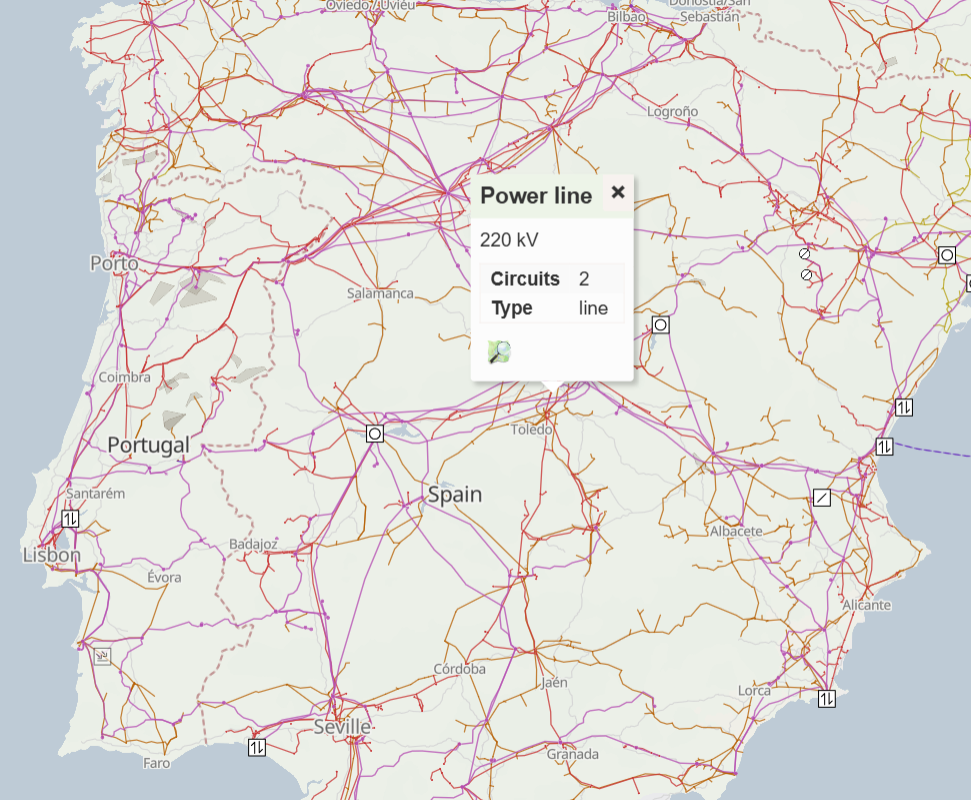
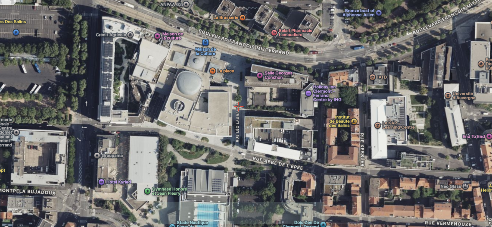
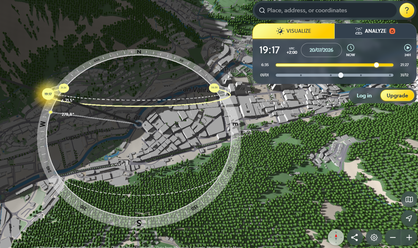
<table data-card-size="large" data-column-title-hidden data-view="cards" data-full-width="false" data-search="false"><thead><tr><th>Nombre</th><th>Descripción</th><th>Enlace oficial</th><th data-hidden data-card-cover data-type="image">Imagen de portada</th></tr></thead><tbody><tr><td><strong>F4Map</strong></td><td>Visualización interactiva de mapas en 3D para paisajes urbanos detallados, edificios y características geográficas.</td><td><a href="https://demo.f4map.com/">https://demo.f4map.com/</a></td><td><a href="https://754079710-files.gitbook.io/~/files/v0/b/gitbook-x-prod.appspot.com/o/spaces%2Fl4EVJpcOrsgjSGsLI7p2%2Fuploads%2Fgit-blob-b47de87cf460804a5dc57e347cbc6e9790052975%2FUntitled.png?alt=media">Untitled.png</a></td></tr><tr><td><strong>Global Forest Watch</strong></td><td>Explore la pérdida y ganancia de cobertura arbórea, alertas de deforestación, alertas de incendios, uso del suelo, emisiones de carbono e indicadores de biodiversidad.</td><td><a href="https://www.globalforestwatch.org/map/">https://www.globalforestwatch.org/map/</a></td><td><a href="https://754079710-files.gitbook.io/~/files/v0/b/gitbook-x-prod.appspot.com/o/spaces%2Fl4EVJpcOrsgjSGsLI7p2%2Fuploads%2Fgit-blob-fda389ea74d4f082cab76e2822354316451044dd%2Ffeeffe.png?alt=media">feeffe.png</a></td></tr><tr><td><strong>MapChecking</strong></td><td>Estime y verifique cuántas personas pueden estar físicamente dentro de un área seleccionada.</td><td><a href="https://www.mapchecking.com/">https://www.mapchecking.com/</a></td><td><a href="https://754079710-files.gitbook.io/~/files/v0/b/gitbook-x-prod.appspot.com/o/spaces%2Fl4EVJpcOrsgjSGsLI7p2%2Fuploads%2Fgit-blob-e51970b8711ffe02e06decf84b77b019522d21bc%2Fimage.png?alt=media">image.png</a></td></tr><tr><td><strong>Mapillary</strong></td><td>Plataforma de imágenes a nivel de calle colaborativa para verificar ubicaciones en terreno y obtener contexto visual.</td><td><a href="https://www.mapillary.com/app/">https://www.mapillary.com/app/</a></td><td><a href="https://754079710-files.gitbook.io/~/files/v0/b/gitbook-x-prod.appspot.com/o/spaces%2Fl4EVJpcOrsgjSGsLI7p2%2Fuploads%2Fgit-blob-abaf82955e173df44cae0a75a9aa3c4fe1ce8871%2Fimage.png?alt=media">image.png</a></td></tr><tr><td><strong>Mapy.cz</strong></td><td>Servicio de mapas con gran cobertura de Chequia y capas útiles de mapas al aire libre, terreno y viajes.</td><td><a href="https://mapy.com/">https://mapy.com/</a></td><td><a href="https://754079710-files.gitbook.io/~/files/v0/b/gitbook-x-prod.appspot.com/o/spaces%2Fl4EVJpcOrsgjSGsLI7p2%2Fuploads%2Fgit-blob-fdad21e023a20c72035440383f472cf03a387faa%2Fimage.png?alt=media">image.png</a></td></tr><tr><td><strong>NASA FIRMS</strong></td><td>Mapa de información de incendios basado en satélite que utiliza datos infrarrojos y puede indicar incendios, puntos calientes o explosiones.</td><td><a href="https://firms2.modaps.eosdis.nasa.gov/map">https://firms2.modaps.eosdis.nasa.gov/map</a></td><td><a href="https://754079710-files.gitbook.io/~/files/v0/b/gitbook-x-prod.appspot.com/o/spaces%2Fl4EVJpcOrsgjSGsLI7p2%2Fuploads%2Fgit-blob-3da1141308b6c3f4ff76d6e26be92ed42cfa2f28%2Fimage.png?alt=media">image.png</a></td></tr><tr><td><strong>OpenInfraMap</strong></td><td>Mapa global de líneas eléctricas, telecomunicaciones, energía solar, petróleo, gas e infraestructura hídrica.</td><td><a href="https://openinframap.org/">https://openinframap.org/</a></td><td><a href="https://754079710-files.gitbook.io/~/files/v0/b/gitbook-x-prod.appspot.com/o/spaces%2Fl4EVJpcOrsgjSGsLI7p2%2Fuploads%2Fgit-blob-a5667a28b384f5d24931d167687780853e1c938a%2Fimage.png?alt=media">image.png</a></td></tr><tr><td><strong>Satellites.pro</strong></td><td>Cambie rápidamente entre varios proveedores gratuitos de imágenes satelitales y mapas para la misma ubicación.</td><td><a href="https://satellites.pro/">https://satellites.pro/</a></td><td><a href="https://754079710-files.gitbook.io/~/files/v0/b/gitbook-x-prod.appspot.com/o/spaces%2Fl4EVJpcOrsgjSGsLI7p2%2Fuploads%2Fgit-blob-3631bac2dc785dff1be88a704eac001471802593%2Fimage.png?alt=media">image.png</a></td></tr><tr><td><strong>ShadowMap</strong></td><td>Mapa 3D de sombras de edificios para comprobar cómo caen las sombras en fechas y horas específicas.</td><td><a href="https://app.shadowmap.org/">https://app.shadowmap.org/</a></td><td><a href="https://754079710-files.gitbook.io/~/files/v0/b/gitbook-x-prod.appspot.com/o/spaces%2Fl4EVJpcOrsgjSGsLI7p2%2Fuploads%2Fgit-blob-f1cc51ec7e9667c2a4a1cfdbbcde2f07ad6064db%2Fimage.png?alt=media">image.png</a></td></tr></tbody></table>


---

# Agent Instructions
This documentation is published with GitBook. GitBook is the documentation platform designed so that both humans and AI agents can read, navigate, and reason over technical content effectively. Learn more at gitbook.com.

## Querying This Documentation
If you need additional information that is not directly available in this page, you can query the documentation by asking a question.

Perform an HTTP GET request on the following URL with the `ask` and `goal` query parameters:

```
GET https://hacking-notes.jord4n.pro/es/hacking-tools/osint/maps-and-geospatial-intelligence.md?ask=<question>&goal=<user_goal>
```

`ask` is the immediate question: it should be specific, self-contained, and written in natural language.
`goal` is what the user is ultimately trying to achieve, the reason they need the answer. Sharing it helps GitBook give you a better, more relevant answer. A goal is most helpful when it describes the outcome the user wants rather than restating the question. For example, with `ask=how do I create an API token`, a goal like `automate deployments from our CI pipeline` lets GitBook tailor the answer to that use case.

The response will contain a direct answer to the question and relevant excerpts and sources from the documentation.

Use this mechanism when the answer is not explicitly present in the current page, you need clarification or additional context, or you want to retrieve related documentation sections.