> For the complete documentation index, see [llms.txt](https://hacking-notes.jord4n.pro/llms.txt). Markdown versions of documentation pages are available by appending `.md` to page URLs; this page is available as [Markdown](https://hacking-notes.jord4n.pro/fr/hacking-tools/osint/maps-and-geospatial-intelligence.md).

# Renseignements cartographiques et géospatiaux

Ressources cartographiques et de renseignement géospatial pour l’imagerie satellite, les alertes d’incendie, la cartographie d’infrastructures, les ombres, l’imagerie au niveau de la rue, les forêts, le relief et l’estimation de la taille des foules.

Utilisez ces ressources pour examiner le terrain, les environnements bâtis, les images satellites, les infrastructures, les changements environnementaux, l’activité des incendies et le contexte physique autour d’un lieu.

## Outils

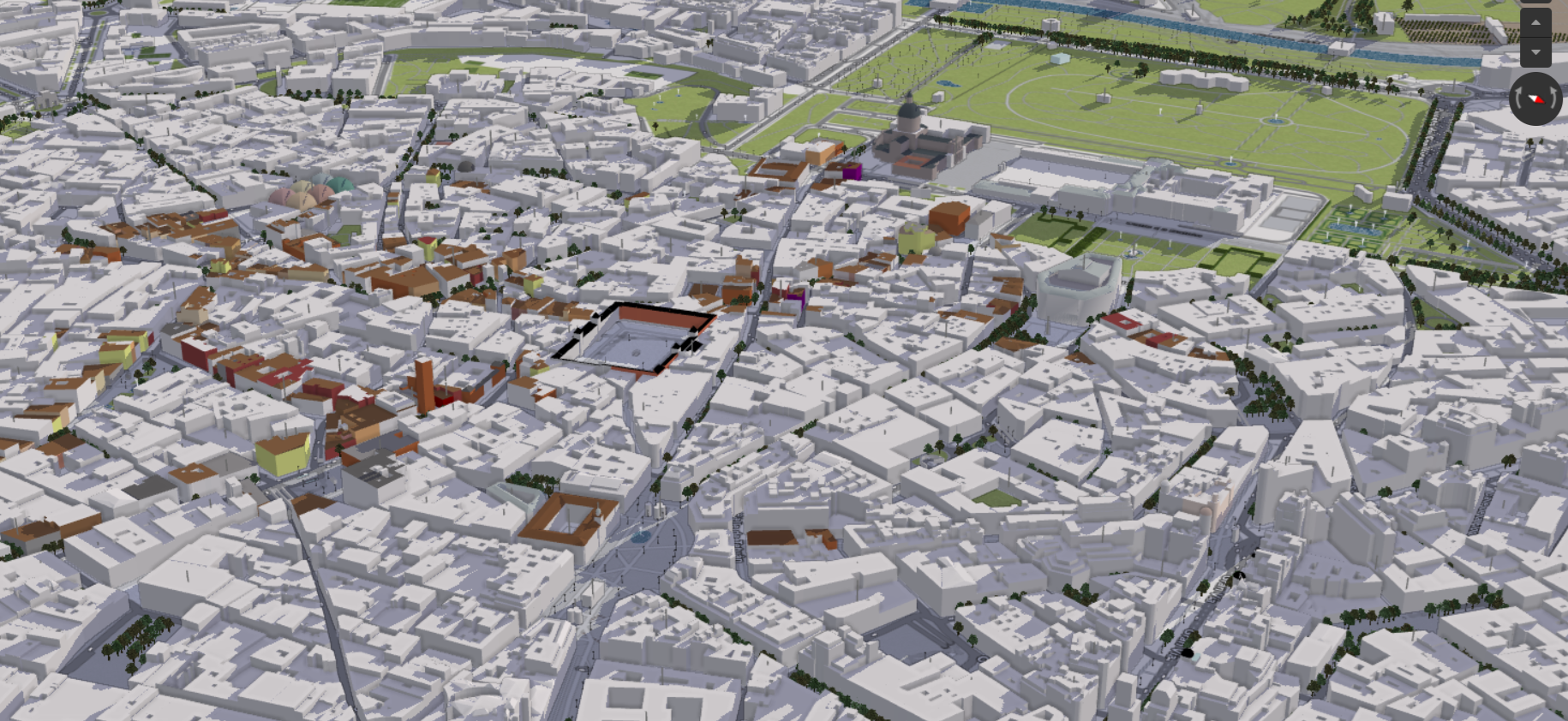
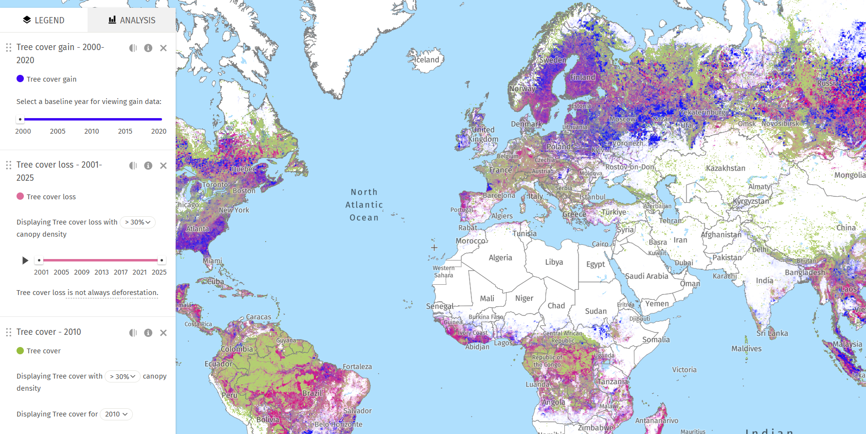
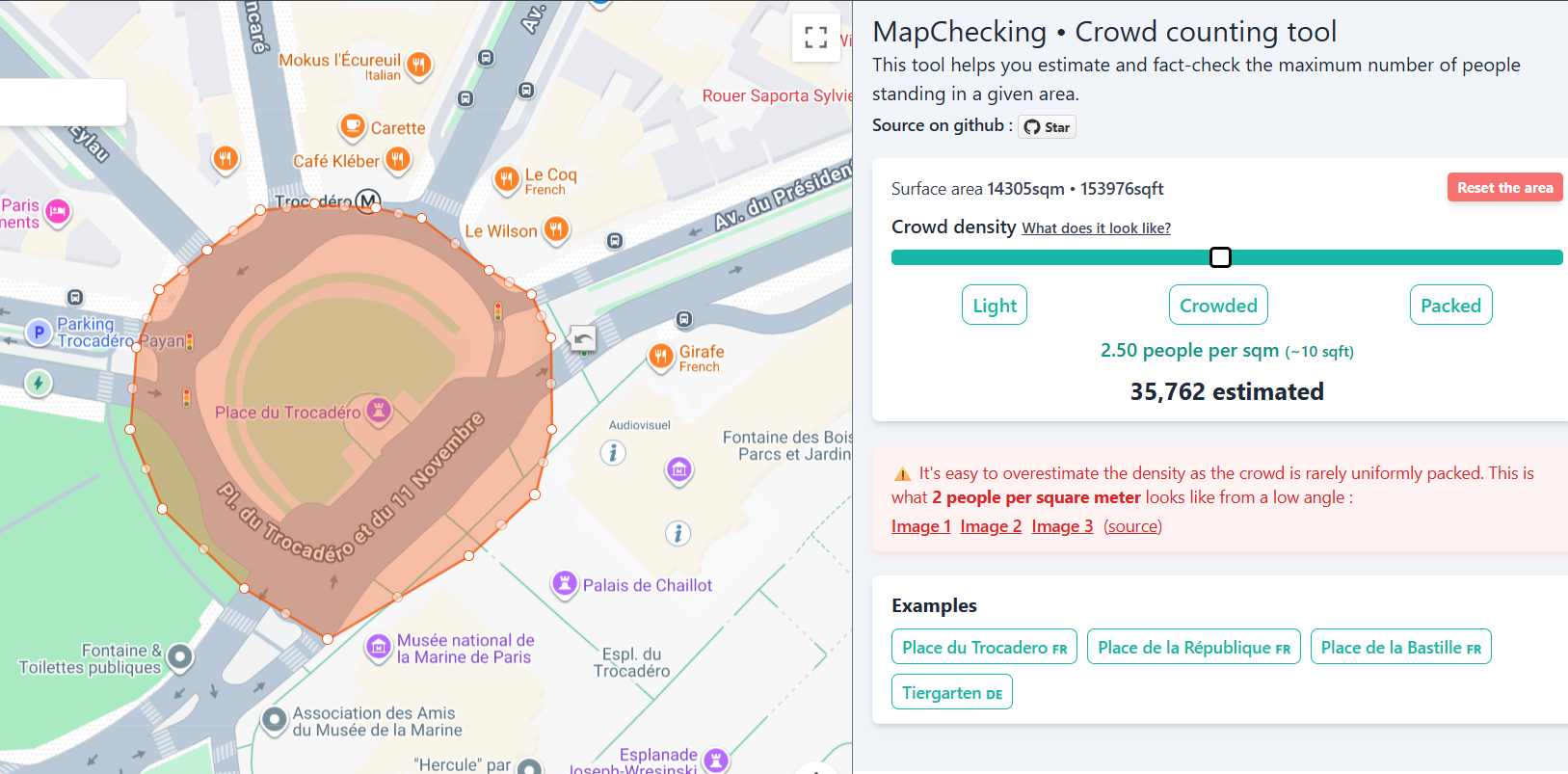
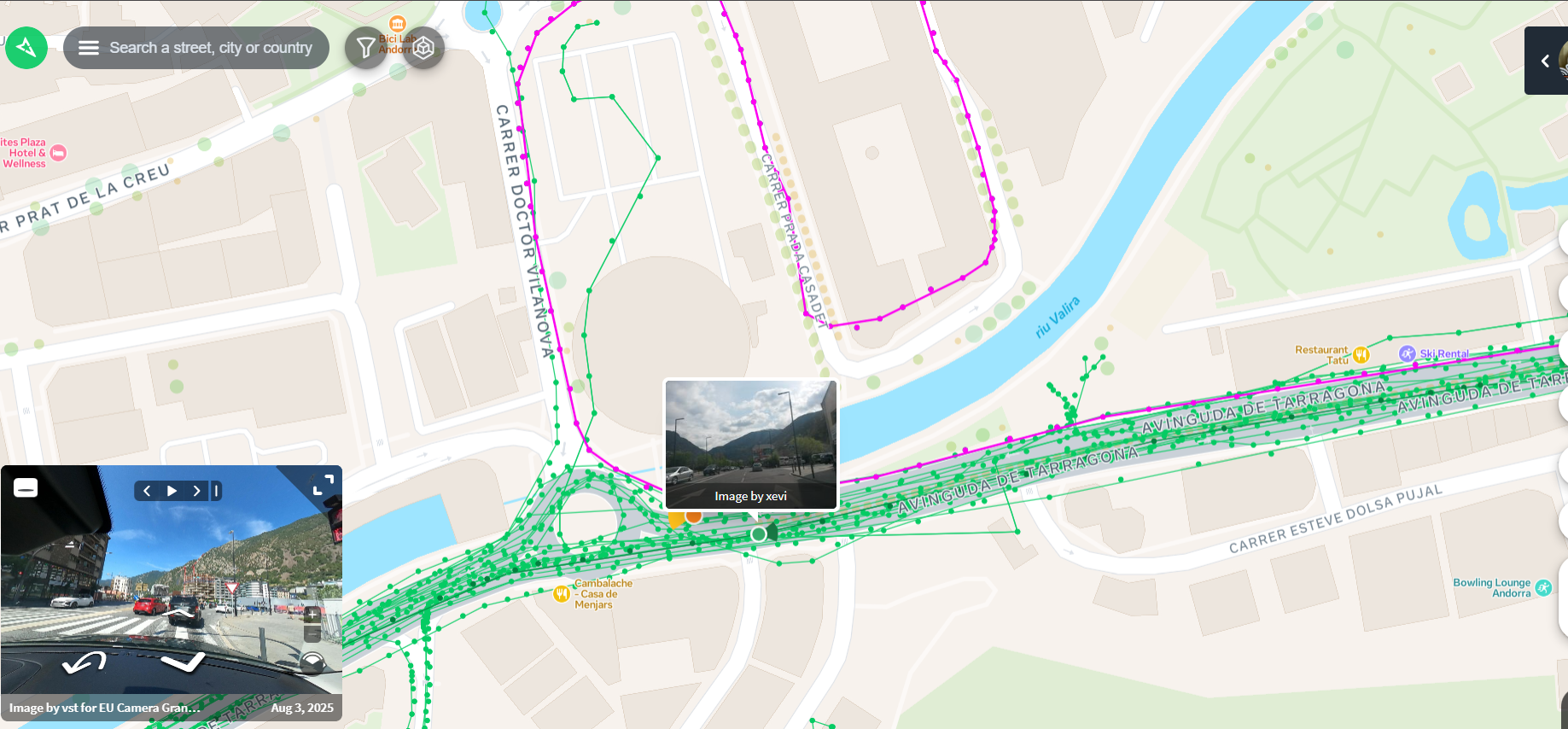
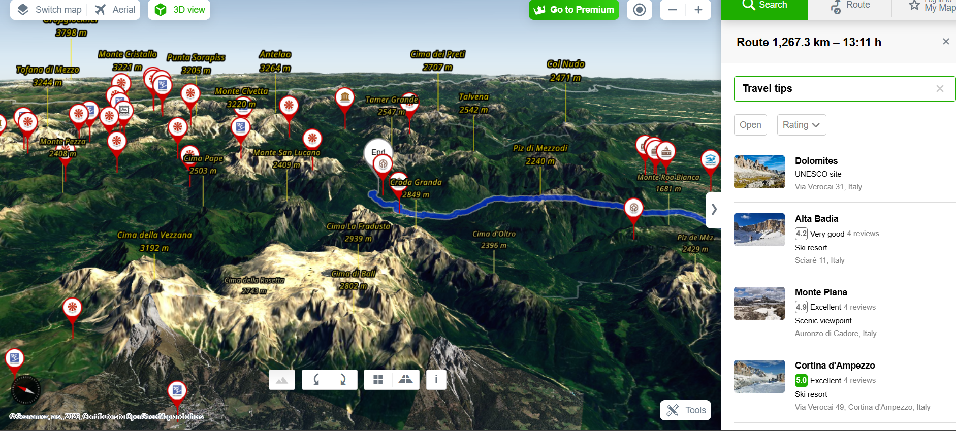
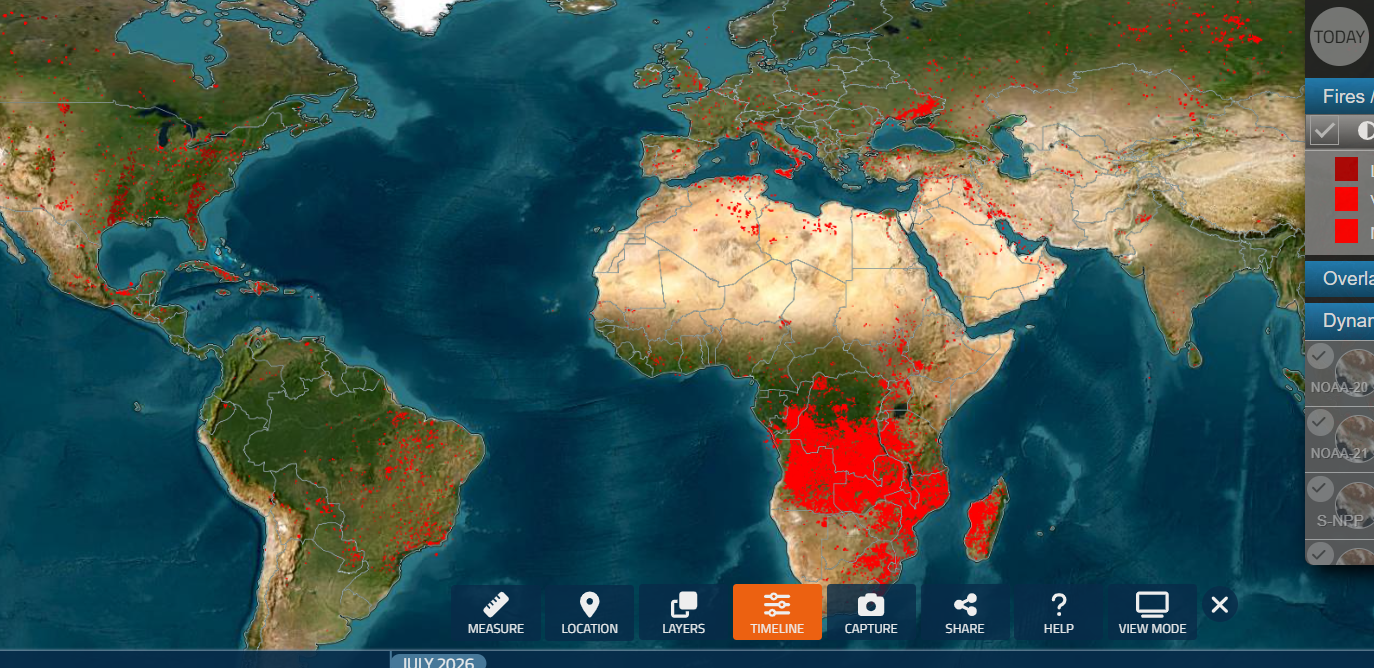
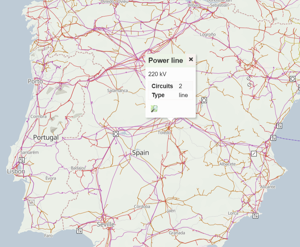
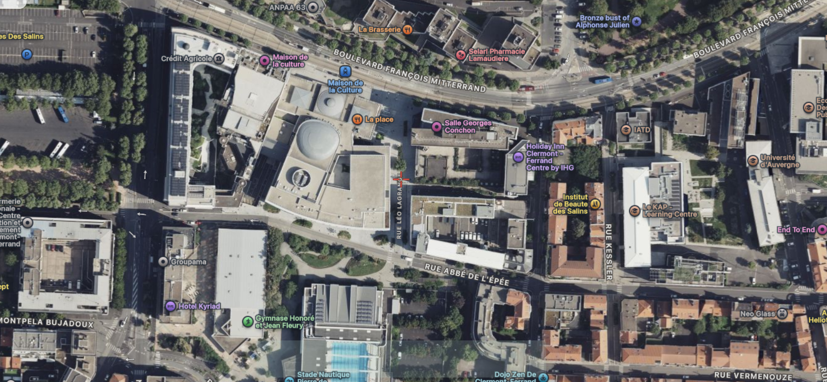
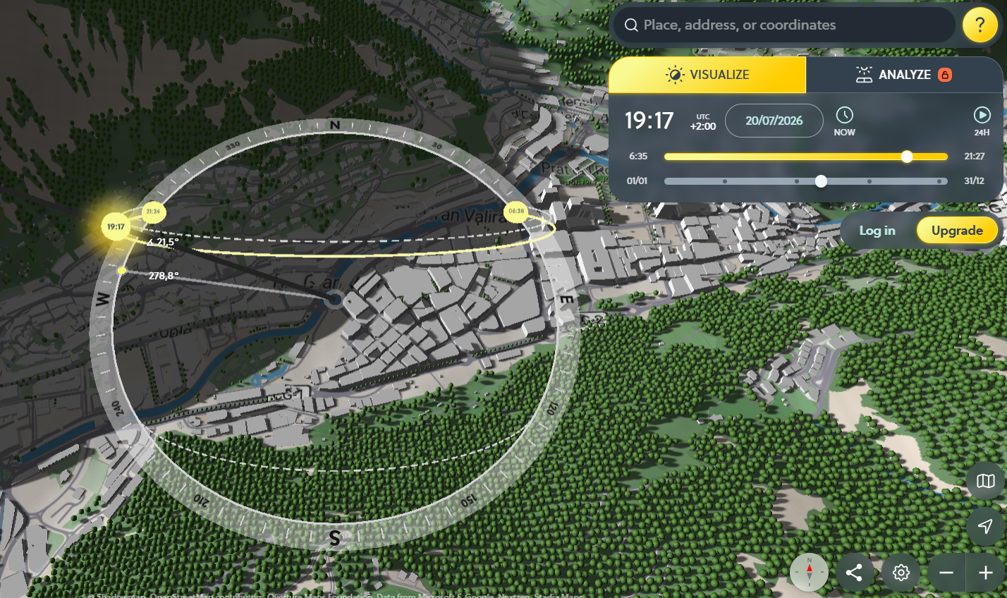
<table data-card-size="large" data-column-title-hidden data-view="cards" data-full-width="false" data-search="false"><thead><tr><th>Nom</th><th>Description</th><th>Lien officiel</th><th data-hidden data-card-cover data-type="image">Image de couverture</th></tr></thead><tbody><tr><td><strong>F4Map</strong></td><td>Visualisation de carte 3D interactive pour des paysages urbains détaillés, des bâtiments et des caractéristiques géographiques.</td><td><a href="https://demo.f4map.com/">https://demo.f4map.com/</a></td><td><a href="https://3840167291-files.gitbook.io/~/files/v0/b/gitbook-x-prod.appspot.com/o/spaces%2Fl4EVJpcOrsgjSGsLI7p2%2Fuploads%2Fgit-blob-b47de87cf460804a5dc57e347cbc6e9790052975%2FUntitled.png?alt=media">Untitled.png</a></td></tr><tr><td><strong>Global Forest Watch</strong></td><td>Explorez la perte et le gain de couverture arborée, les alertes de déforestation, les alertes d’incendie, l’utilisation des terres, les émissions de carbone et les indicateurs de biodiversité.</td><td><a href="https://www.globalforestwatch.org/map/">https://www.globalforestwatch.org/map/</a></td><td><a href="https://3840167291-files.gitbook.io/~/files/v0/b/gitbook-x-prod.appspot.com/o/spaces%2Fl4EVJpcOrsgjSGsLI7p2%2Fuploads%2Fgit-blob-fda389ea74d4f082cab76e2822354316451044dd%2Ffeeffe.png?alt=media">feeffe.png</a></td></tr><tr><td><strong>MapChecking</strong></td><td>Estimez et vérifiez combien de personnes peuvent physiquement se tenir dans une zone sélectionnée.</td><td><a href="https://www.mapchecking.com/">https://www.mapchecking.com/</a></td><td><a href="https://3840167291-files.gitbook.io/~/files/v0/b/gitbook-x-prod.appspot.com/o/spaces%2Fl4EVJpcOrsgjSGsLI7p2%2Fuploads%2Fgit-blob-e51970b8711ffe02e06decf84b77b019522d21bc%2Fimage.png?alt=media">image.png</a></td></tr><tr><td><strong>Mapillary</strong></td><td>Plateforme d’imagerie de niveau rue alimentée par la foule pour la vérification sur le terrain des lieux et le contexte visuel.</td><td><a href="https://www.mapillary.com/app/">https://www.mapillary.com/app/</a></td><td><a href="https://3840167291-files.gitbook.io/~/files/v0/b/gitbook-x-prod.appspot.com/o/spaces%2Fl4EVJpcOrsgjSGsLI7p2%2Fuploads%2Fgit-blob-abaf82955e173df44cae0a75a9aa3c4fe1ce8871%2Fimage.png?alt=media">image.png</a></td></tr><tr><td><strong>Mapy.cz</strong></td><td>Service de cartographie avec une forte couverture de la Tchéquie et des couches de carte utiles pour l’extérieur, le terrain et les voyages.</td><td><a href="https://mapy.com/">https://mapy.com/</a></td><td><a href="https://3840167291-files.gitbook.io/~/files/v0/b/gitbook-x-prod.appspot.com/o/spaces%2Fl4EVJpcOrsgjSGsLI7p2%2Fuploads%2Fgit-blob-fdad21e023a20c72035440383f472cf03a387faa%2Fimage.png?alt=media">image.png</a></td></tr><tr><td><strong>NASA FIRMS</strong></td><td>Carte d’informations sur les incendies basée sur des satellites utilisant des données infrarouges pouvant indiquer des incendies, des points chauds ou des explosions.</td><td><a href="https://firms2.modaps.eosdis.nasa.gov/map">https://firms2.modaps.eosdis.nasa.gov/map</a></td><td><a href="https://3840167291-files.gitbook.io/~/files/v0/b/gitbook-x-prod.appspot.com/o/spaces%2Fl4EVJpcOrsgjSGsLI7p2%2Fuploads%2Fgit-blob-3da1141308b6c3f4ff76d6e26be92ed42cfa2f28%2Fimage.png?alt=media">image.png</a></td></tr><tr><td><strong>OpenInfraMap</strong></td><td>Carte mondiale des lignes électriques, des télécommunications, du solaire, du pétrole, du gaz et des infrastructures hydrauliques.</td><td><a href="https://openinframap.org/">https://openinframap.org/</a></td><td><a href="https://3840167291-files.gitbook.io/~/files/v0/b/gitbook-x-prod.appspot.com/o/spaces%2Fl4EVJpcOrsgjSGsLI7p2%2Fuploads%2Fgit-blob-a5667a28b384f5d24931d167687780853e1c938a%2Fimage.png?alt=media">image.png</a></td></tr><tr><td><strong>Satellites.pro</strong></td><td>Passez rapidement d’un fournisseur gratuit d’imagerie satellite et de cartes à un autre pour le même emplacement.</td><td><a href="https://satellites.pro/">https://satellites.pro/</a></td><td><a href="https://3840167291-files.gitbook.io/~/files/v0/b/gitbook-x-prod.appspot.com/o/spaces%2Fl4EVJpcOrsgjSGsLI7p2%2Fuploads%2Fgit-blob-3631bac2dc785dff1be88a704eac001471802593%2Fimage.png?alt=media">image.png</a></td></tr><tr><td><strong>ShadowMap</strong></td><td>Carte des ombres des bâtiments en 3D pour vérifier comment les ombres tombent à des dates et heures spécifiques.</td><td><a href="https://app.shadowmap.org/">https://app.shadowmap.org/</a></td><td><a href="https://3840167291-files.gitbook.io/~/files/v0/b/gitbook-x-prod.appspot.com/o/spaces%2Fl4EVJpcOrsgjSGsLI7p2%2Fuploads%2Fgit-blob-f1cc51ec7e9667c2a4a1cfdbbcde2f07ad6064db%2Fimage.png?alt=media">image.png</a></td></tr></tbody></table>


---

# Agent Instructions
This documentation is published with GitBook. GitBook is the documentation platform designed so that both humans and AI agents can read, navigate, and reason over technical content effectively. Learn more at gitbook.com.

## Querying This Documentation
If you need additional information that is not directly available in this page, you can query the documentation by asking a question.

Perform an HTTP GET request on the following URL with the `ask` and `goal` query parameters:

```
GET https://hacking-notes.jord4n.pro/fr/hacking-tools/osint/maps-and-geospatial-intelligence.md?ask=<question>&goal=<user_goal>
```

`ask` is the immediate question: it should be specific, self-contained, and written in natural language.
`goal` is what the user is ultimately trying to achieve, the reason they need the answer. Sharing it helps GitBook give you a better, more relevant answer. A goal is most helpful when it describes the outcome the user wants rather than restating the question. For example, with `ask=how do I create an API token`, a goal like `automate deployments from our CI pipeline` lets GitBook tailor the answer to that use case.

The response will contain a direct answer to the question and relevant excerpts and sources from the documentation.

Use this mechanism when the answer is not explicitly present in the current page, you need clarification or additional context, or you want to retrieve related documentation sections.