> For the complete documentation index, see [llms.txt](https://hacking-notes.jord4n.pro/llms.txt). Markdown versions of documentation pages are available by appending `.md` to page URLs; this page is available as [Markdown](https://hacking-notes.jord4n.pro/ja/hacking-tools/osint/maps-and-geospatial-intelligence.md).

# 地図と地理空間インテリジェンス

衛星画像、火災警報、インフラマッピング、影、ストリートレベル画像、森林、地形、群衆規模推定のための地図・地理空間インテリジェンスリソース。

これらのリソースを使って、地形、人工環境、衛星画像、インフラ、環境変化、火災活動、そしてその場所周辺の物理的な状況を確認できます。

## ツール

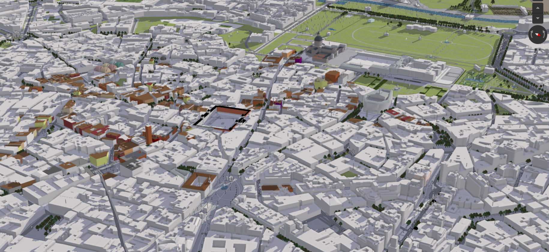
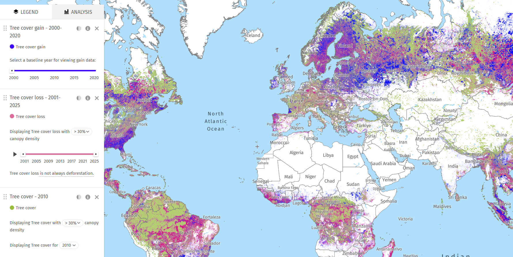
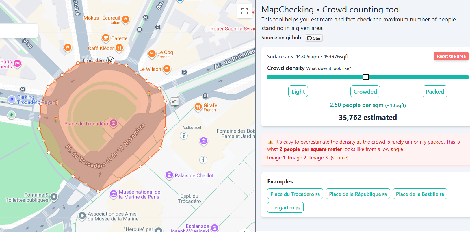
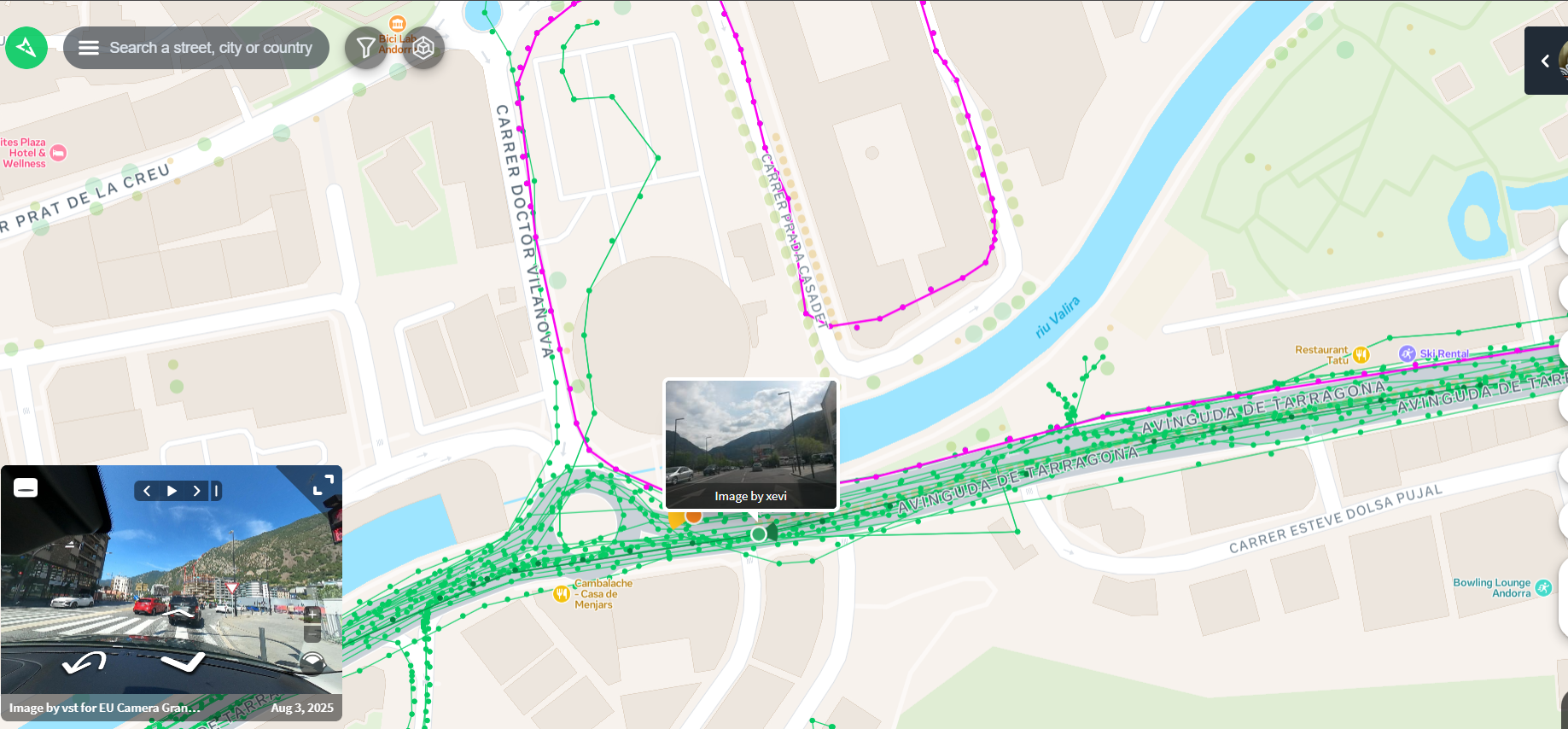
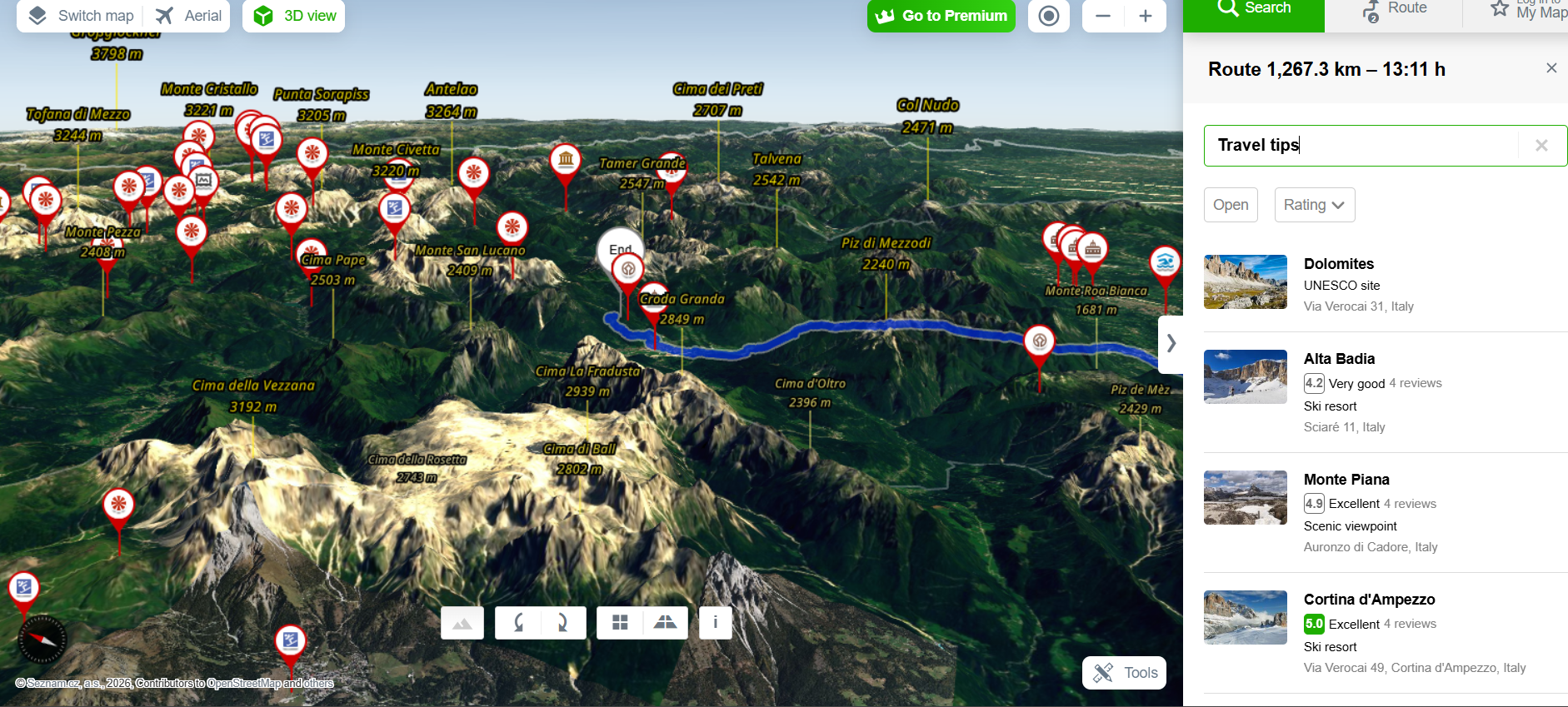
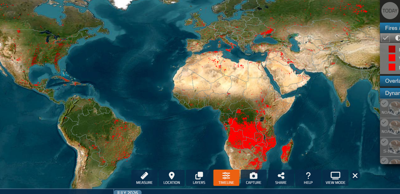
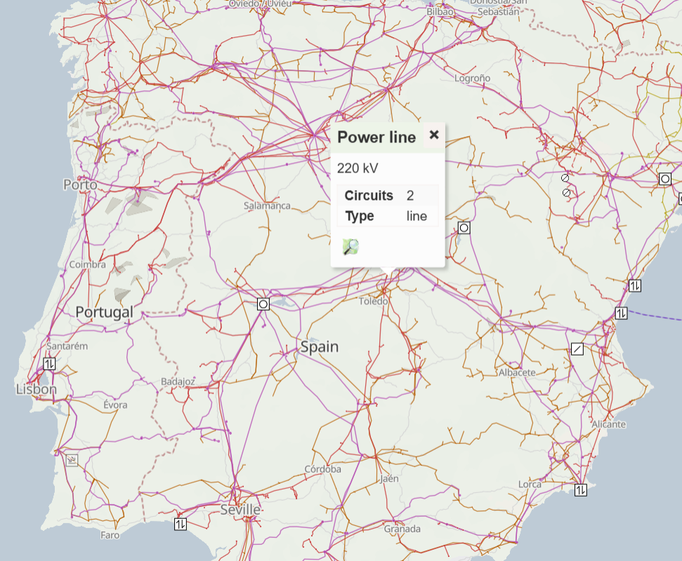
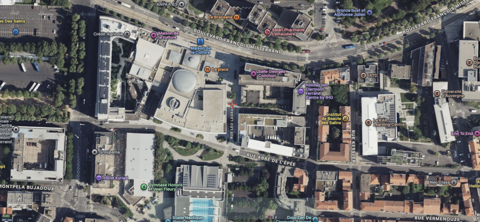
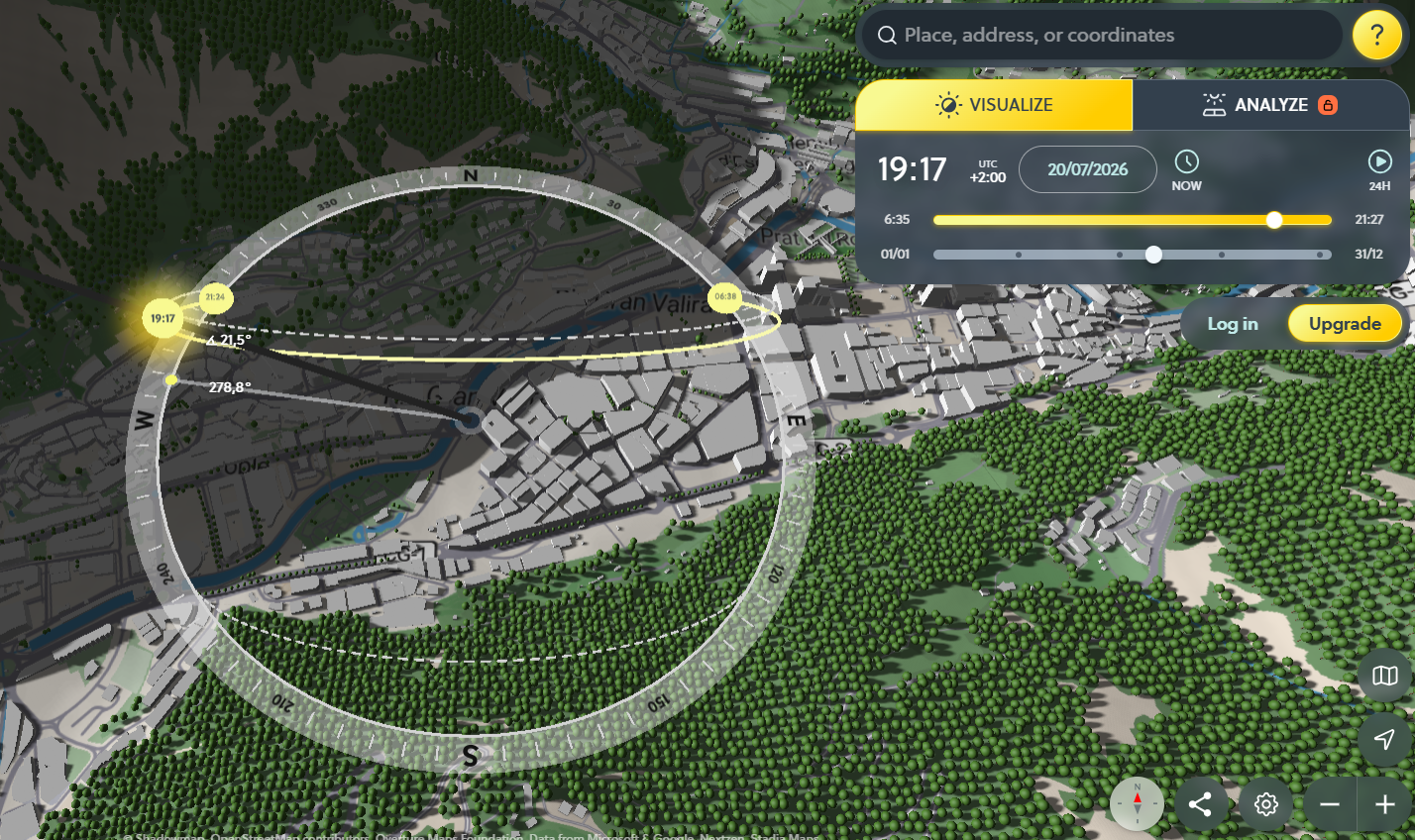
<table data-card-size="large" data-column-title-hidden data-view="cards" data-full-width="false" data-search="false"><thead><tr><th>名前</th><th>説明</th><th>公式リンク</th><th data-hidden data-card-cover data-type="image">カバー画像</th></tr></thead><tbody><tr><td><strong>F4Map</strong></td><td>詳細な都市景観、建物、地理的特徴を表示するインタラクティブな3D地図ビジュアライゼーション。</td><td><a href="https://demo.f4map.com/">https://demo.f4map.com/</a></td><td><a href="https://2001299964-files.gitbook.io/~/files/v0/b/gitbook-x-prod.appspot.com/o/spaces%2Fl4EVJpcOrsgjSGsLI7p2%2Fuploads%2Fgit-blob-b47de87cf460804a5dc57e347cbc6e9790052975%2FUntitled.png?alt=media">Untitled.png</a></td></tr><tr><td><strong>Global Forest Watch</strong></td><td>樹木被覆の減少・増加、森林減少アラート、火災アラート、土地利用、炭素排出、生物多様性指標を確認できます。</td><td><a href="https://www.globalforestwatch.org/map/">https://www.globalforestwatch.org/map/</a></td><td><a href="https://2001299964-files.gitbook.io/~/files/v0/b/gitbook-x-prod.appspot.com/o/spaces%2Fl4EVJpcOrsgjSGsLI7p2%2Fuploads%2Fgit-blob-fda389ea74d4f082cab76e2822354316451044dd%2Ffeeffe.png?alt=media">feeffe.png</a></td></tr><tr><td><strong>MapChecking</strong></td><td>選択した範囲内に物理的に何人立てるかを推定し、事実確認します。</td><td><a href="https://www.mapchecking.com/">https://www.mapchecking.com/</a></td><td><a href="https://2001299964-files.gitbook.io/~/files/v0/b/gitbook-x-prod.appspot.com/o/spaces%2Fl4EVJpcOrsgjSGsLI7p2%2Fuploads%2Fgit-blob-e51970b8711ffe02e06decf84b77b019522d21bc%2Fimage.png?alt=media">image.png</a></td></tr><tr><td><strong>Mapillary</strong></td><td>現地確認用の場所情報と視覚的コンテキストを得るための、ユーザー参加型のストリートレベル画像プラットフォーム。</td><td><a href="https://www.mapillary.com/app/">https://www.mapillary.com/app/</a></td><td><a href="https://2001299964-files.gitbook.io/~/files/v0/b/gitbook-x-prod.appspot.com/o/spaces%2Fl4EVJpcOrsgjSGsLI7p2%2Fuploads%2Fgit-blob-abaf82955e173df44cae0a75a9aa3c4fe1ce8871%2Fimage.png?alt=media">image.png</a></td></tr><tr><td><strong>Mapy.cz</strong></td><td>チェコ国内のカバー範囲が広く、アウトドア、地形、旅行向けの地図レイヤーが充実した地図サービス。</td><td><a href="https://mapy.com/">https://mapy.com/</a></td><td><a href="https://2001299964-files.gitbook.io/~/files/v0/b/gitbook-x-prod.appspot.com/o/spaces%2Fl4EVJpcOrsgjSGsLI7p2%2Fuploads%2Fgit-blob-fdad21e023a20c72035440383f472cf03a387faa%2Fimage.png?alt=media">image.png</a></td></tr><tr><td><strong>NASA FIRMS</strong></td><td>赤外線データを使用した衛星ベースの火災情報マップで、火災、ホットスポット、爆発を示すことがあります。</td><td><a href="https://firms2.modaps.eosdis.nasa.gov/map">https://firms2.modaps.eosdis.nasa.gov/map</a></td><td><a href="https://2001299964-files.gitbook.io/~/files/v0/b/gitbook-x-prod.appspot.com/o/spaces%2Fl4EVJpcOrsgjSGsLI7p2%2Fuploads%2Fgit-blob-3da1141308b6c3f4ff76d6e26be92ed42cfa2f28%2Fimage.png?alt=media">image.png</a></td></tr><tr><td><strong>OpenInfraMap</strong></td><td>送電線、通信、太陽光、石油、ガス、水道インフラの世界地図。</td><td><a href="https://openinframap.org/">https://openinframap.org/</a></td><td><a href="https://2001299964-files.gitbook.io/~/files/v0/b/gitbook-x-prod.appspot.com/o/spaces%2Fl4EVJpcOrsgjSGsLI7p2%2Fuploads%2Fgit-blob-a5667a28b384f5d24931d167687780853e1c938a%2Fimage.png?alt=media">image.png</a></td></tr><tr><td><strong>Satellites.pro</strong></td><td>同じ場所について、複数の無料衛星画像・地図プロバイダーをすばやく切り替えられます。</td><td><a href="https://satellites.pro/">https://satellites.pro/</a></td><td><a href="https://2001299964-files.gitbook.io/~/files/v0/b/gitbook-x-prod.appspot.com/o/spaces%2Fl4EVJpcOrsgjSGsLI7p2%2Fuploads%2Fgit-blob-3631bac2dc785dff1be88a704eac001471802593%2Fimage.png?alt=media">image.png</a></td></tr><tr><td><strong>ShadowMap</strong></td><td>特定の日付・時刻に影がどのように落ちるかを確認するための3D建物影マップ。</td><td><a href="https://app.shadowmap.org/">https://app.shadowmap.org/</a></td><td><a href="https://2001299964-files.gitbook.io/~/files/v0/b/gitbook-x-prod.appspot.com/o/spaces%2Fl4EVJpcOrsgjSGsLI7p2%2Fuploads%2Fgit-blob-f1cc51ec7e9667c2a4a1cfdbbcde2f07ad6064db%2Fimage.png?alt=media">image.png</a></td></tr></tbody></table>


---

# Agent Instructions
This documentation is published with GitBook. GitBook is the documentation platform designed so that both humans and AI agents can read, navigate, and reason over technical content effectively. Learn more at gitbook.com.

## Querying This Documentation
If you need additional information that is not directly available in this page, you can query the documentation by asking a question.

Perform an HTTP GET request on the following URL with the `ask` and `goal` query parameters:

```
GET https://hacking-notes.jord4n.pro/ja/hacking-tools/osint/maps-and-geospatial-intelligence.md?ask=<question>&goal=<user_goal>
```

`ask` is the immediate question: it should be specific, self-contained, and written in natural language.
`goal` is what the user is ultimately trying to achieve, the reason they need the answer. Sharing it helps GitBook give you a better, more relevant answer. A goal is most helpful when it describes the outcome the user wants rather than restating the question. For example, with `ask=how do I create an API token`, a goal like `automate deployments from our CI pipeline` lets GitBook tailor the answer to that use case.

The response will contain a direct answer to the question and relevant excerpts and sources from the documentation.

Use this mechanism when the answer is not explicitly present in the current page, you need clarification or additional context, or you want to retrieve related documentation sections.