> For the complete documentation index, see [llms.txt](https://hacking-notes.jord4n.pro/llms.txt). Markdown versions of documentation pages are available by appending `.md` to page URLs; this page is available as [Markdown](https://hacking-notes.jord4n.pro/zh/hacking-tools/osint/maps-and-geospatial-intelligence.md).

# 地图与地理空间情报

用于卫星图像、火灾警报、基础设施映射、阴影、街景图像、森林、地形和人群规模估计的地图与地理空间情报资源。

使用这些资源来查看某个地点周围的地形、建成环境、卫星影像、基础设施、环境变化、火灾活动和物理环境。

## 工具

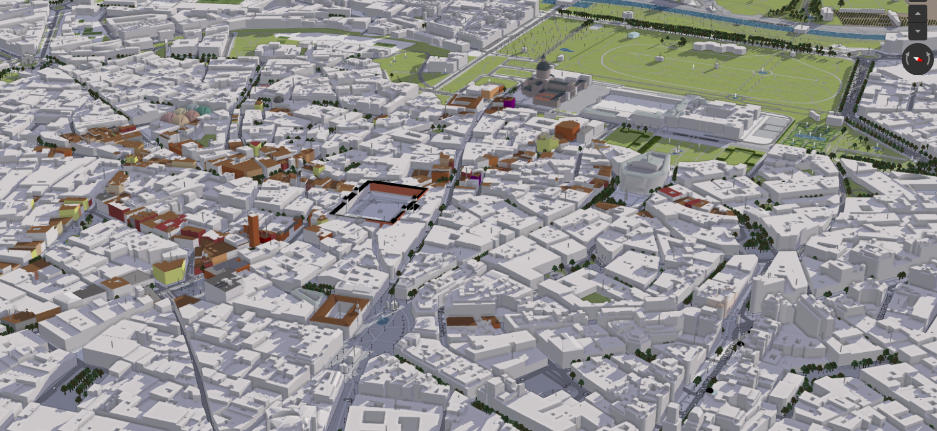
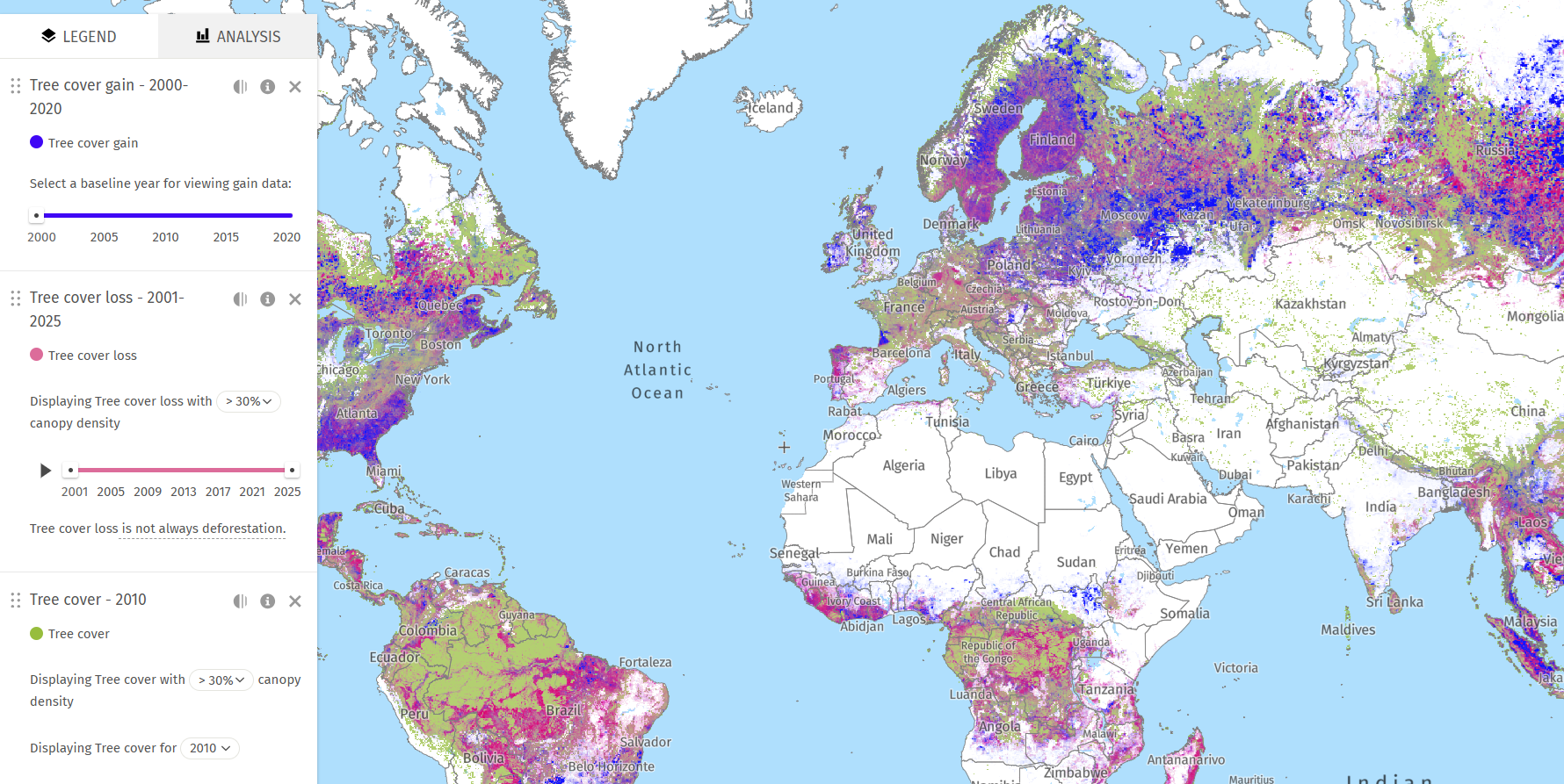
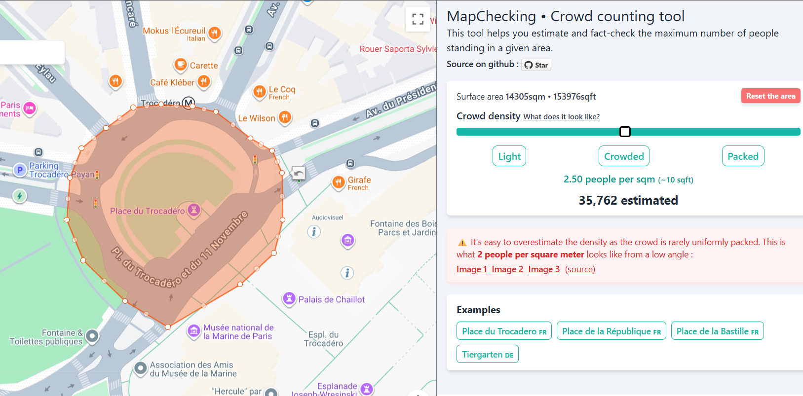
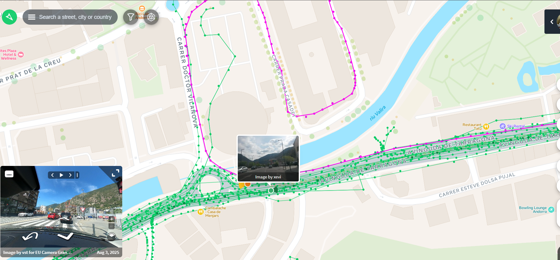
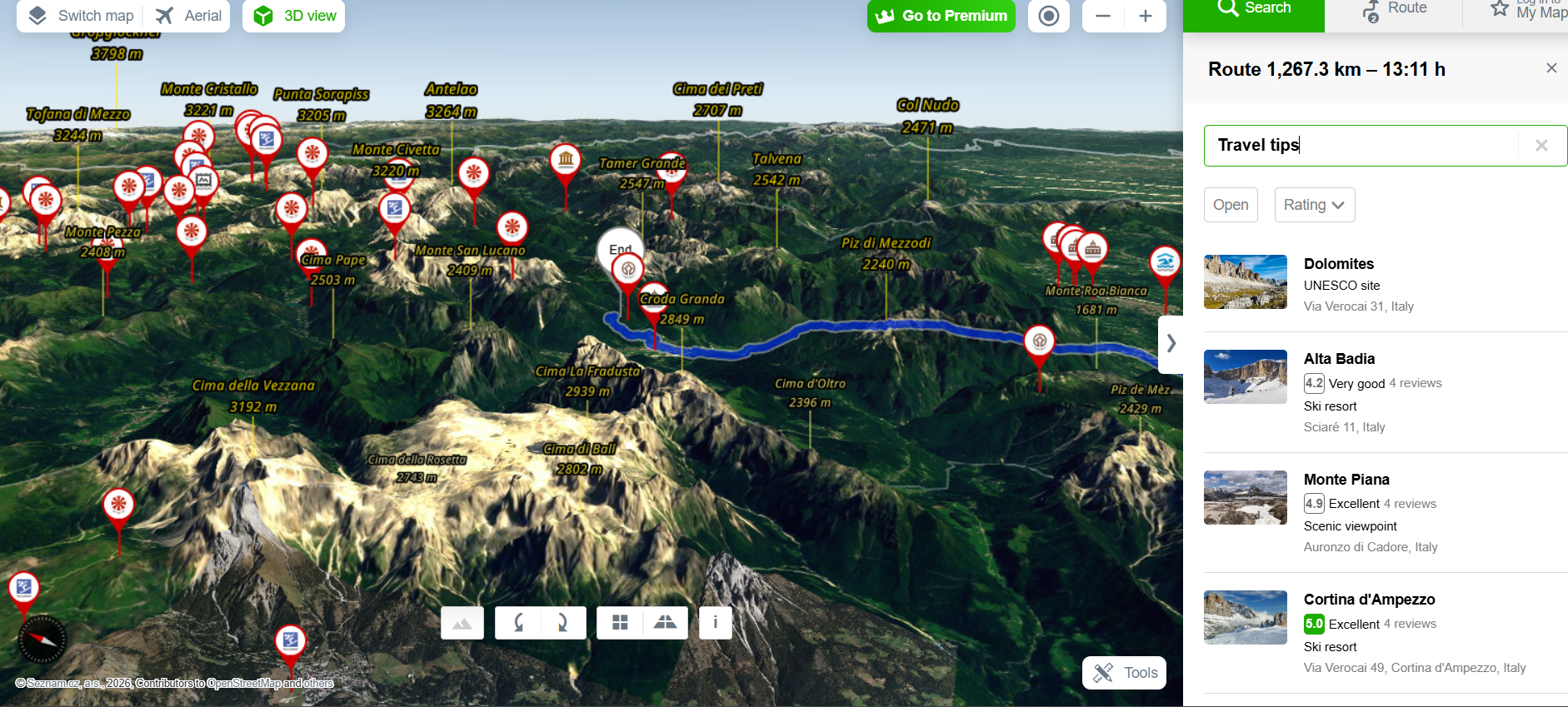
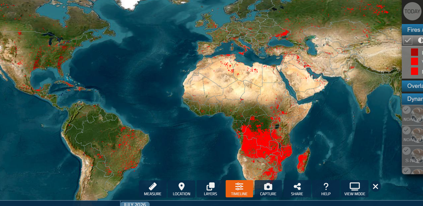
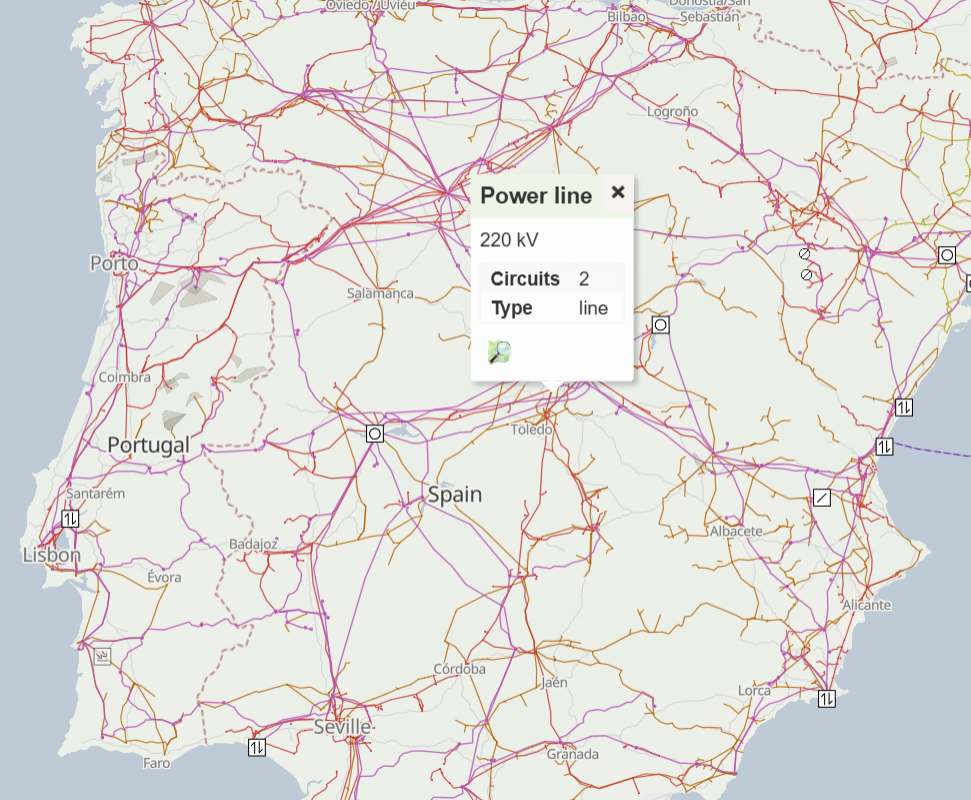
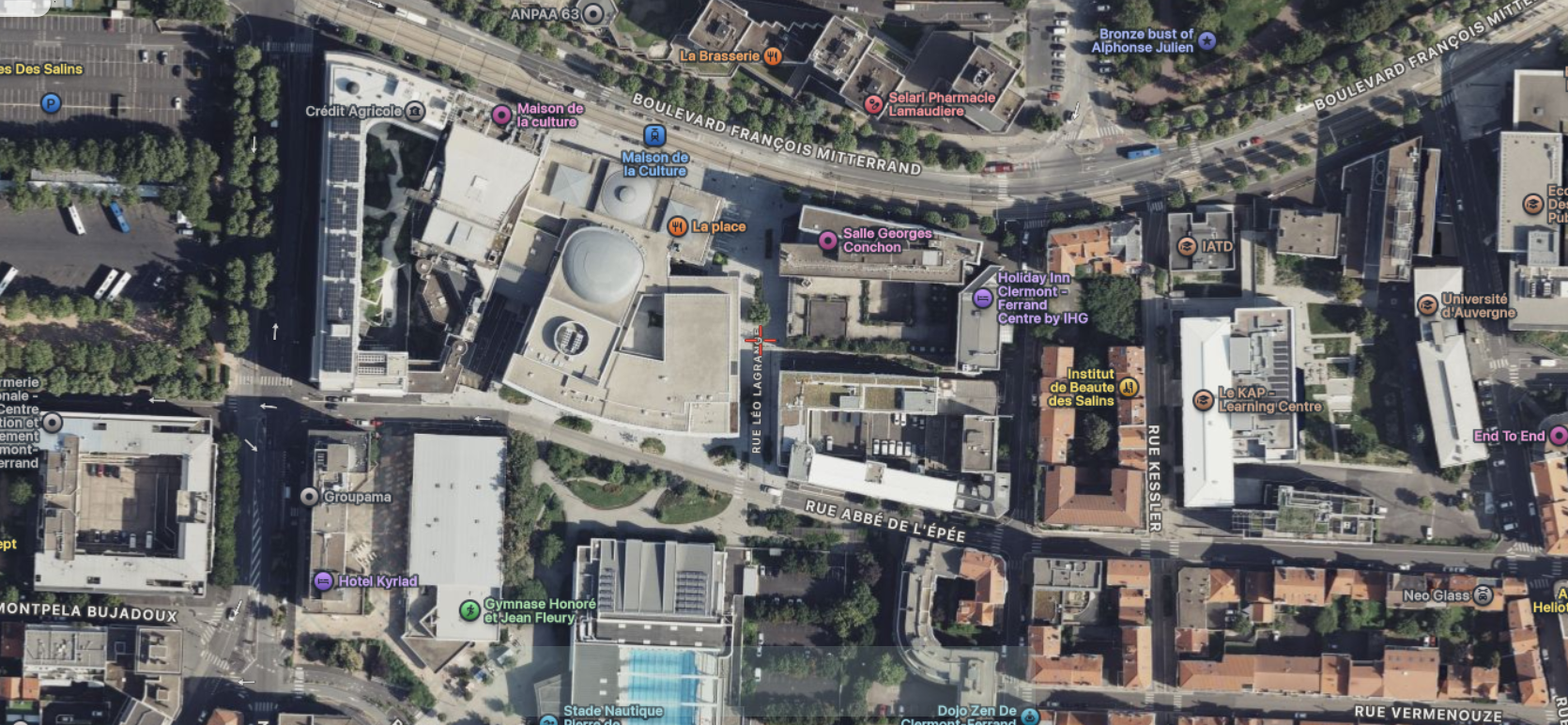
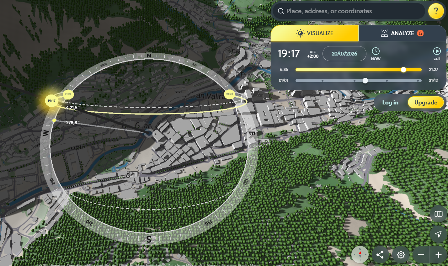
<table data-card-size="large" data-column-title-hidden data-view="cards" data-full-width="false" data-search="false"><thead><tr><th>名称</th><th>描述</th><th>官方链接</th><th data-hidden data-card-cover data-type="image">封面图片</th></tr></thead><tbody><tr><td><strong>F4Map</strong></td><td>用于详细城市景观、建筑物和地理特征的交互式 3D 地图可视化。</td><td><a href="https://demo.f4map.com/">https://demo.f4map.com/</a></td><td><a href="https://1574813340-files.gitbook.io/~/files/v0/b/gitbook-x-prod.appspot.com/o/spaces%2Fl4EVJpcOrsgjSGsLI7p2%2Fuploads%2Fgit-blob-b47de87cf460804a5dc57e347cbc6e9790052975%2FUntitled.png?alt=media">Untitled.png</a></td></tr><tr><td><strong>Global Forest Watch</strong></td><td>探索树冠覆盖的减少与增加、森林砍伐警报、火灾警报、土地利用、碳排放和生物多样性指标。</td><td><a href="https://www.globalforestwatch.org/map/">https://www.globalforestwatch.org/map/</a></td><td><a href="https://1574813340-files.gitbook.io/~/files/v0/b/gitbook-x-prod.appspot.com/o/spaces%2Fl4EVJpcOrsgjSGsLI7p2%2Fuploads%2Fgit-blob-fda389ea74d4f082cab76e2822354316451044dd%2Ffeeffe.png?alt=media">feeffe.png</a></td></tr><tr><td><strong>MapChecking</strong></td><td>估算并核查在所选区域内物理上最多能站多少人。</td><td><a href="https://www.mapchecking.com/">https://www.mapchecking.com/</a></td><td><a href="https://1574813340-files.gitbook.io/~/files/v0/b/gitbook-x-prod.appspot.com/o/spaces%2Fl4EVJpcOrsgjSGsLI7p2%2Fuploads%2Fgit-blob-e51970b8711ffe02e06decf84b77b019522d21bc%2Fimage.png?alt=media">image.png</a></td></tr><tr><td><strong>Mapillary</strong></td><td>众包街景图像平台，用于对地点进行地面核实和获取视觉背景。</td><td><a href="https://www.mapillary.com/app/">https://www.mapillary.com/app/</a></td><td><a href="https://1574813340-files.gitbook.io/~/files/v0/b/gitbook-x-prod.appspot.com/o/spaces%2Fl4EVJpcOrsgjSGsLI7p2%2Fuploads%2Fgit-blob-abaf82955e173df44cae0a75a9aa3c4fe1ce8871%2Fimage.png?alt=media">image.png</a></td></tr><tr><td><strong>Mapy.cz</strong></td><td>提供捷克覆盖率很强，并且在户外、地形和旅行地图图层方面很有用的地图服务。</td><td><a href="https://mapy.com/">https://mapy.com/</a></td><td><a href="https://1574813340-files.gitbook.io/~/files/v0/b/gitbook-x-prod.appspot.com/o/spaces%2Fl4EVJpcOrsgjSGsLI7p2%2Fuploads%2Fgit-blob-fdad21e023a20c72035440383f472cf03a387faa%2Fimage.png?alt=media">image.png</a></td></tr><tr><td><strong>NASA FIRMS</strong></td><td>基于卫星的火情信息地图，使用红外数据，可指示火灾、热点或爆炸。</td><td><a href="https://firms2.modaps.eosdis.nasa.gov/map">https://firms2.modaps.eosdis.nasa.gov/map</a></td><td><a href="https://1574813340-files.gitbook.io/~/files/v0/b/gitbook-x-prod.appspot.com/o/spaces%2Fl4EVJpcOrsgjSGsLI7p2%2Fuploads%2Fgit-blob-3da1141308b6c3f4ff76d6e26be92ed42cfa2f28%2Fimage.png?alt=media">image.png</a></td></tr><tr><td><strong>OpenInfraMap</strong></td><td>全球电力线、电信、太阳能、石油、天然气和供水基础设施地图。</td><td><a href="https://openinframap.org/">https://openinframap.org/</a></td><td><a href="https://1574813340-files.gitbook.io/~/files/v0/b/gitbook-x-prod.appspot.com/o/spaces%2Fl4EVJpcOrsgjSGsLI7p2%2Fuploads%2Fgit-blob-a5667a28b384f5d24931d167687780853e1c938a%2Fimage.png?alt=media">image.png</a></td></tr><tr><td><strong>Satellites.pro</strong></td><td>可在同一地点之间快速切换多个免费的卫星影像和地图提供商。</td><td><a href="https://satellites.pro/">https://satellites.pro/</a></td><td><a href="https://1574813340-files.gitbook.io/~/files/v0/b/gitbook-x-prod.appspot.com/o/spaces%2Fl4EVJpcOrsgjSGsLI7p2%2Fuploads%2Fgit-blob-3631bac2dc785dff1be88a704eac001471802593%2Fimage.png?alt=media">image.png</a></td></tr><tr><td><strong>ShadowMap</strong></td><td>3D 建筑阴影地图，用于查看阴影在特定日期和时间的落点。</td><td><a href="https://app.shadowmap.org/">https://app.shadowmap.org/</a></td><td><a href="https://1574813340-files.gitbook.io/~/files/v0/b/gitbook-x-prod.appspot.com/o/spaces%2Fl4EVJpcOrsgjSGsLI7p2%2Fuploads%2Fgit-blob-f1cc51ec7e9667c2a4a1cfdbbcde2f07ad6064db%2Fimage.png?alt=media">image.png</a></td></tr></tbody></table>


---

# Agent Instructions
This documentation is published with GitBook. GitBook is the documentation platform designed so that both humans and AI agents can read, navigate, and reason over technical content effectively. Learn more at gitbook.com.

## Querying This Documentation
If you need additional information that is not directly available in this page, you can query the documentation by asking a question.

Perform an HTTP GET request on the following URL with the `ask` and `goal` query parameters:

```
GET https://hacking-notes.jord4n.pro/zh/hacking-tools/osint/maps-and-geospatial-intelligence.md?ask=<question>&goal=<user_goal>
```

`ask` is the immediate question: it should be specific, self-contained, and written in natural language.
`goal` is what the user is ultimately trying to achieve, the reason they need the answer. Sharing it helps GitBook give you a better, more relevant answer. A goal is most helpful when it describes the outcome the user wants rather than restating the question. For example, with `ask=how do I create an API token`, a goal like `automate deployments from our CI pipeline` lets GitBook tailor the answer to that use case.

The response will contain a direct answer to the question and relevant excerpts and sources from the documentation.

Use this mechanism when the answer is not explicitly present in the current page, you need clarification or additional context, or you want to retrieve related documentation sections.